Discover comprehensive maps showing our nation's geography, political divisions, and key features
Welcome to the maps page of the Dominion of Svarthaedir. Here you'll find detailed cartographic representations of our nation, including our location on Nova Vexillium, political boundaries, topographical features, and provincial divisions. Explore our comprehensive collection of maps that showcase the geographical diversity and administrative organization of our territory.
Cartographic Atlas of Svarthaedir
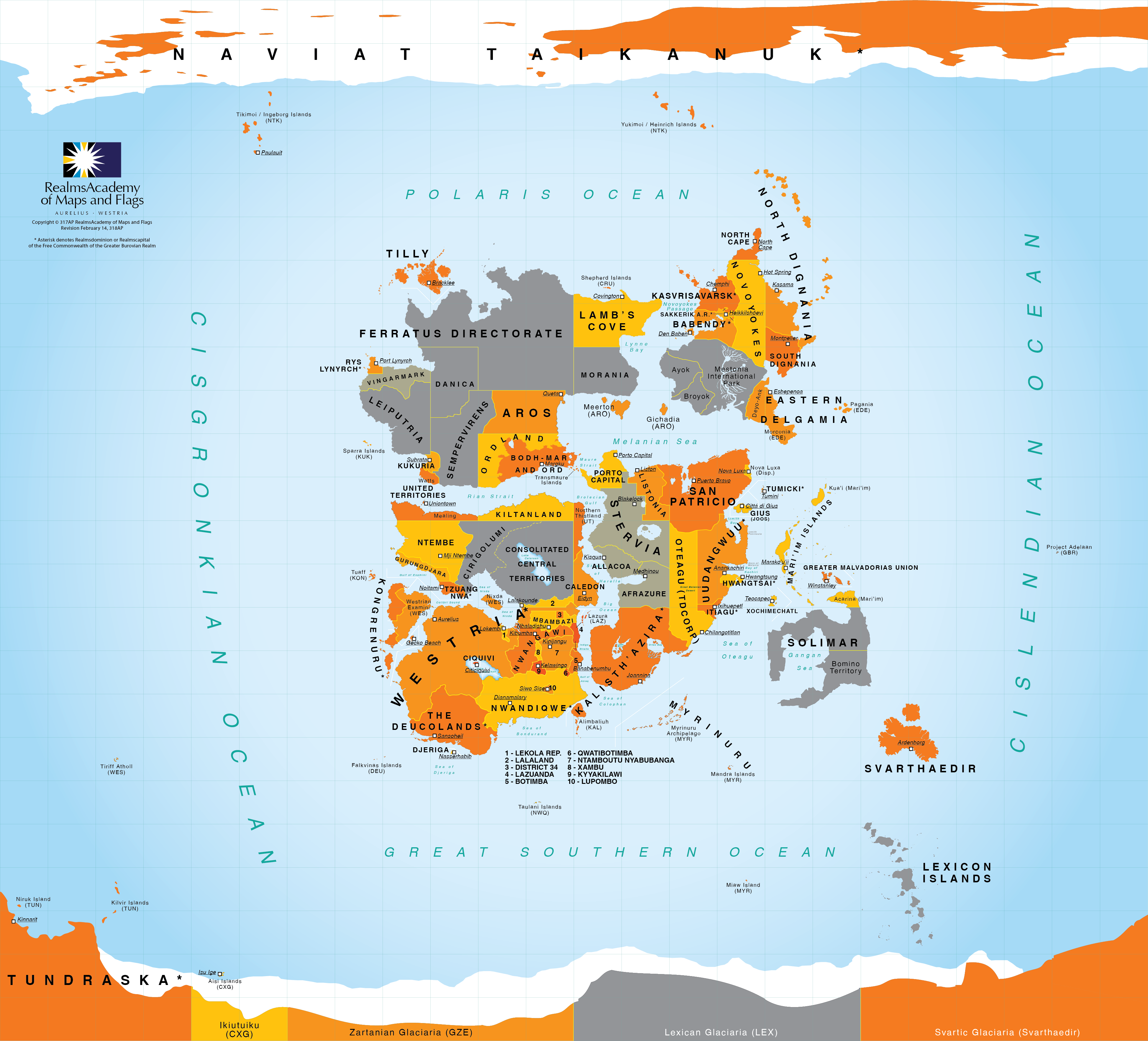
Location of Svarthaedir on Vexillium
Global context map showing Svarthaedir's placement on Vexillium.
Located on the world map of Vexillium, this map highlights Svarthaedir's strategic position within the global context. The map helps visitors understand where our nation sits in relation to other countries and major bodies of water. This continental-scale view demonstrates Svarthaedir's geographical relationships with neighboring nations and its access to important maritime routes.
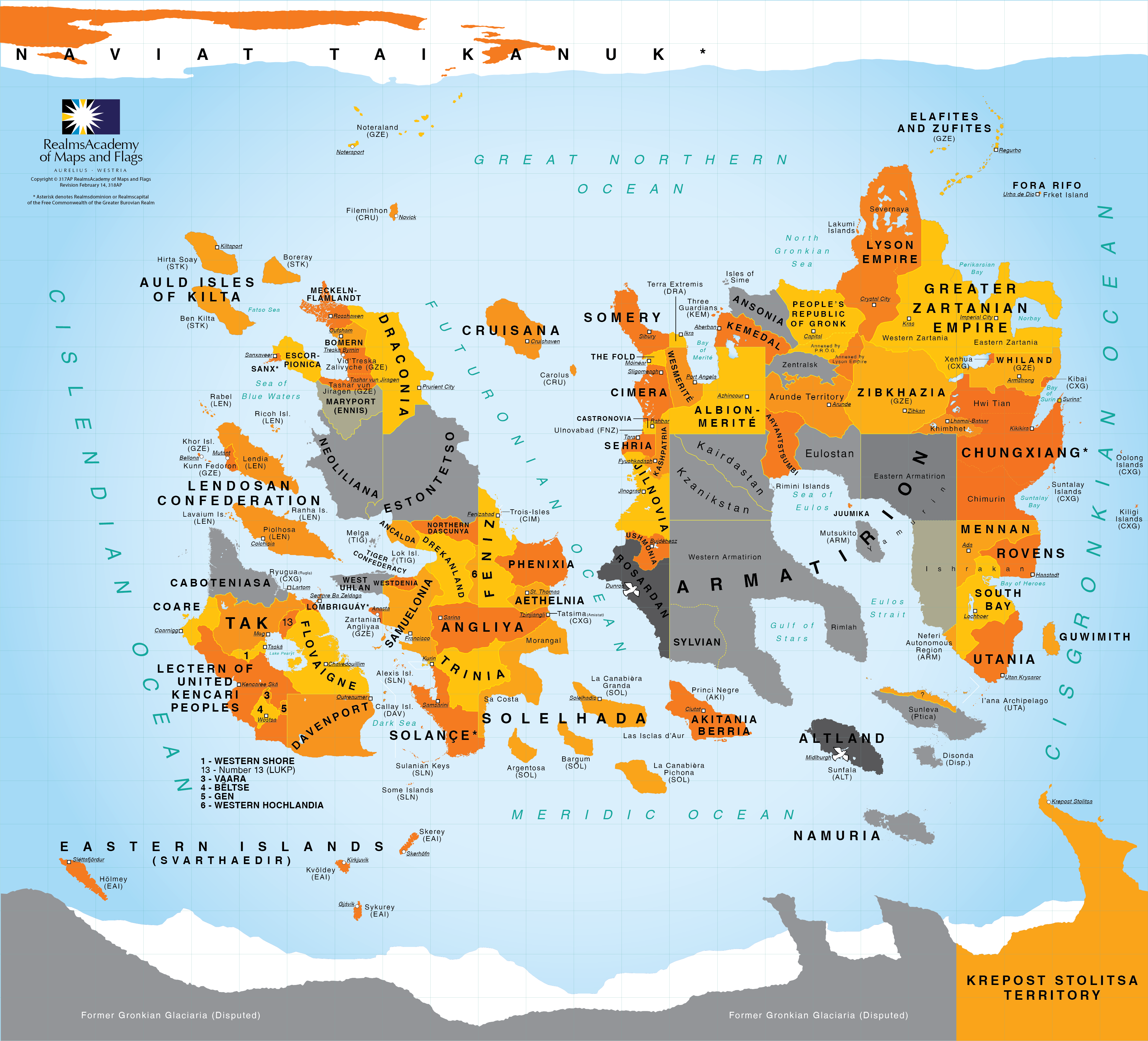
Opposite side of Vexillium
Reference map showing the far side of Vexillium beyond Svarthaedir's hemisphere.
This map shows the continents and oceanic regions on the other side of Vexillium from where Svarthaedir is located. It complements the main world-location map by giving readers a fuller planetary context and showing what lies beyond the hemisphere most directly associated with Svarthaedir and its neighboring states.
Rotating globe view of Svarthaedir
Animated globe view showing Svarthaedir's position on the planet from a curved global perspective.
This rotating globe animation complements the flat world maps by showing Svarthaedir on the curvature of the planet itself. The moving view helps readers understand the dominion's oceanic surroundings, southern placement, and spatial relationship to nearby regions in a more intuitive way than a static projection alone.
Map of the Dominion of Svarthaedir
National political map detailing boundaries, urban centers, and transport links.
This political map provides a detailed overview of Svarthaedir's national boundaries and major administrative regions. It showcases key cities, transportation networks, and important political landmarks throughout the country. The map serves as the primary reference for understanding the nation's overall territorial extent and internal organization.
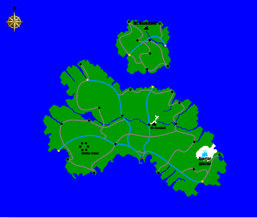
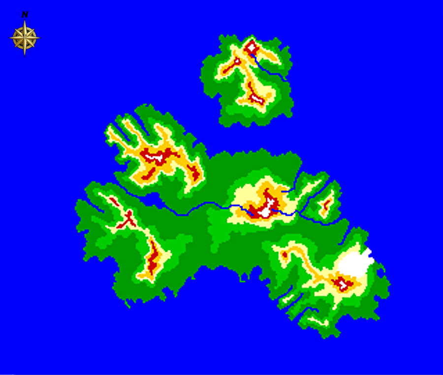
Topographical map of Svarthaedir
Relief and elevation map of the islands' volcanic terrain and drainage systems.
The topographical map illustrates the diverse physical landscape and elevation changes across Svarthaedir's territory. It reveals the country's major geographical features including mountain ranges, valleys, plains, and water bodies through detailed elevation contours and color gradients. This map is essential for understanding the natural barriers, potential resources, and geographical challenges that have shaped the nation's development.
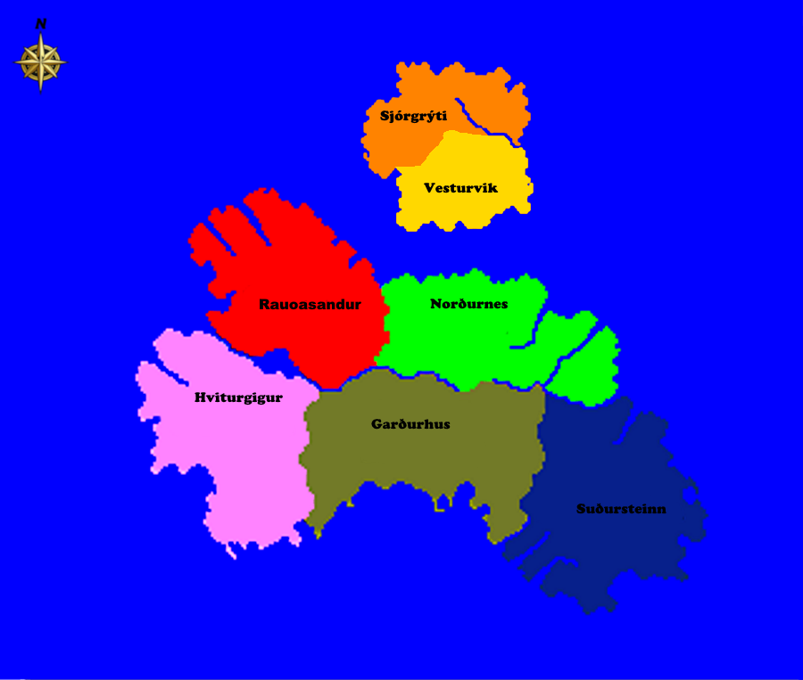
Map of the Provinces of Svarthaedir
Provincial administrative map used for regional governance and planning.
This administrative map clearly delineates the internal provincial boundaries that divide Svarthaedir into its constituent regions. Each province is distinctly colored and labeled, making it easy to understand the administrative divisions of the nation. The map helps citizens and visitors alike understand the territorial organization of local governance within Svarthaedir.